
Wandering Seoul. October 2023. Part 2. Suburbs and mounts
Wandering Seoul. October 2023. Part 2. Suburbs and mounts
Hongdae, Hapjeong, Achasan

Part 1 is here. Part 3 is here.
HONGDAE AND HAPJEONG
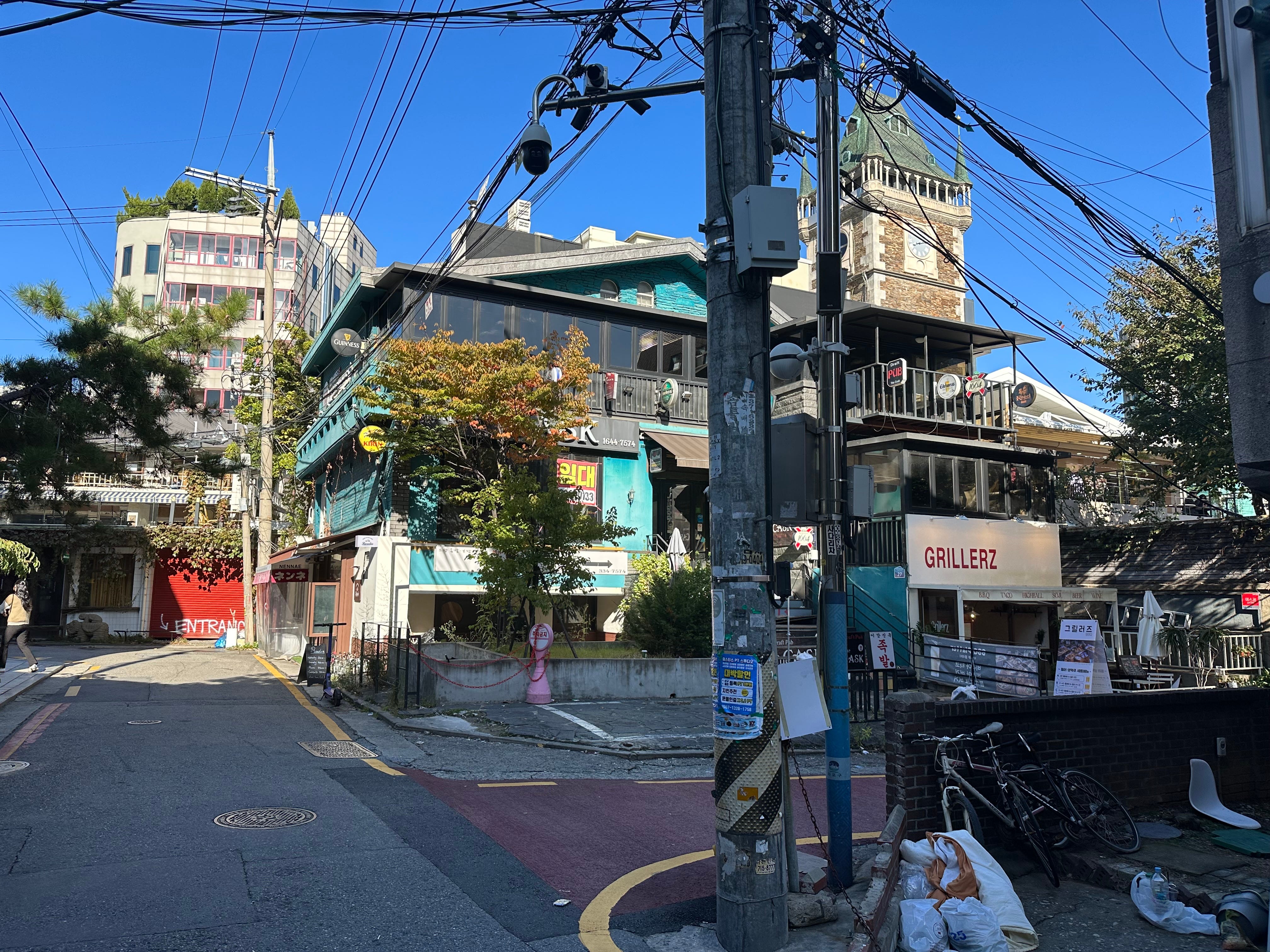
Hongdae is a vibrant tourist and commercial spot near Hongik University station. The main road which earlier served as a rail track is wide for this very reason and is a host to many street shops. You know the type: you buy something and then never use.
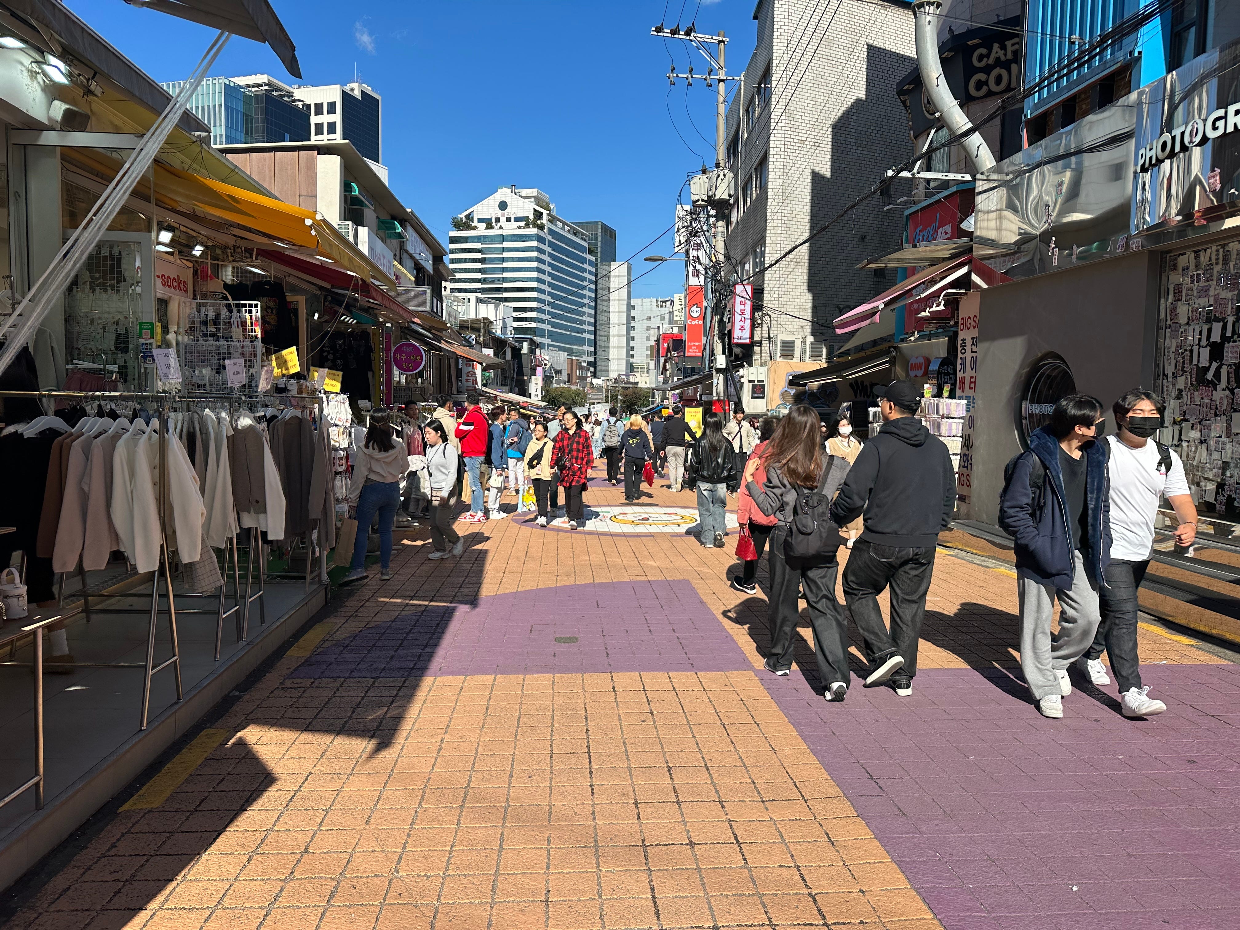
It gets quieter, as you distance yourself from the train station. Really wide roads, not streets I may say!
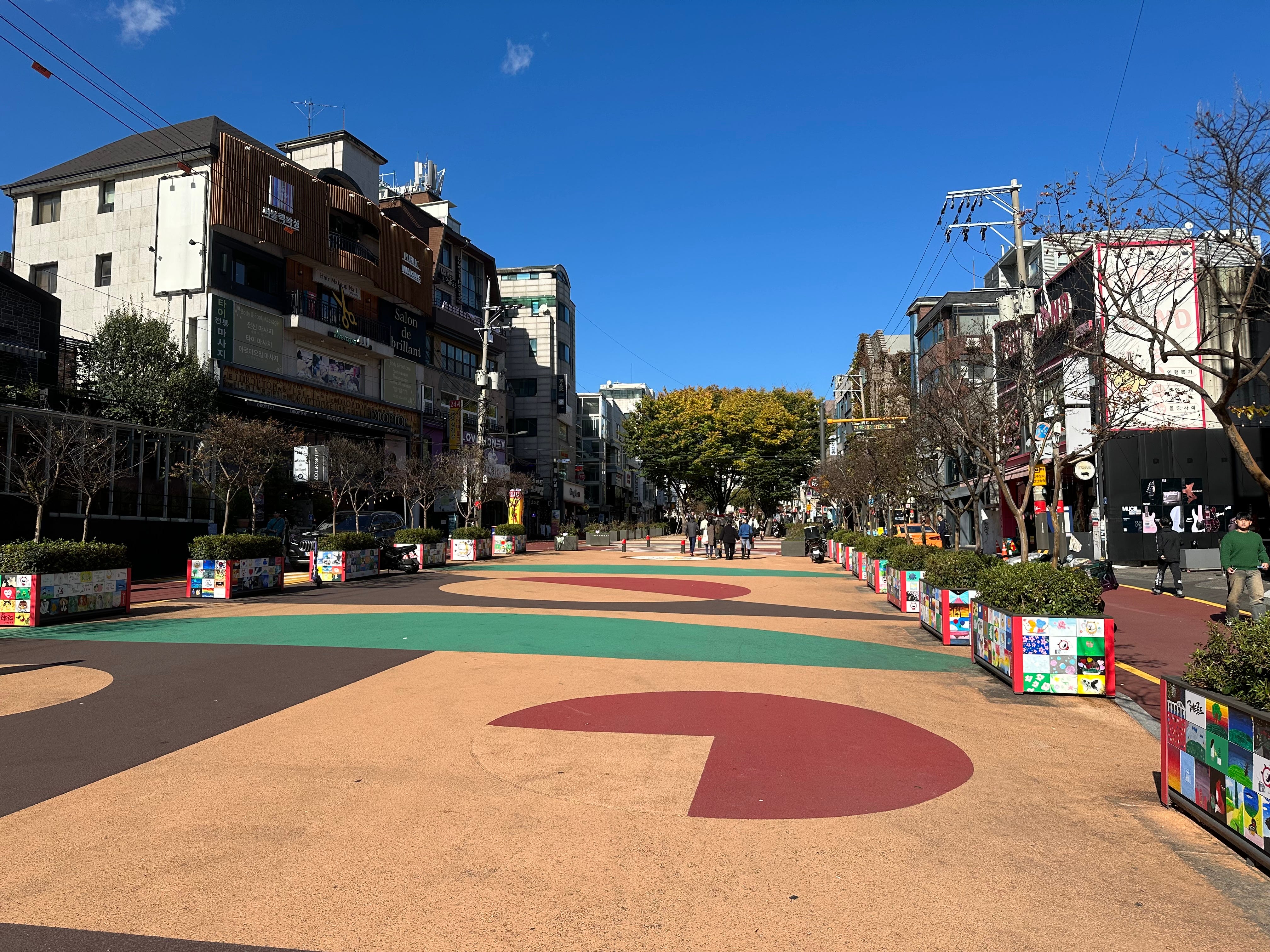
Compared to Hongdae I liked Hapjeong district more. Actually it is hard to say where one suburb starts and the other ends. They just flow into each other. There is no border or sign. You just feel the difference: less people, small cafes and bars, no street vendors. And a very high concentration of cozy places where to spend money.
See it for yourself.
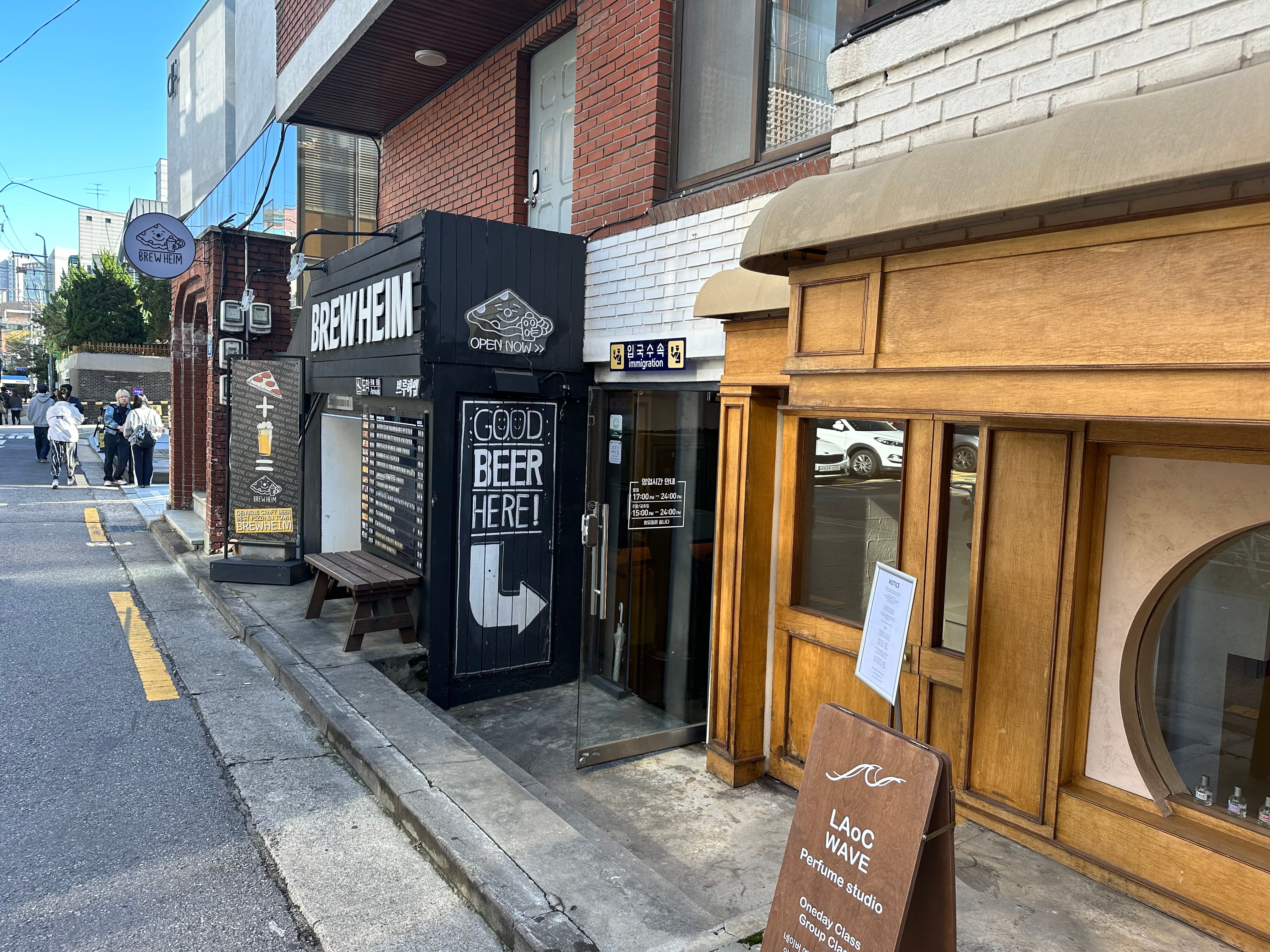
Staff at cafe Neuf suggested that they clean my coffee mug. “May we?” My heart melted. Instead of walking into craft beer place (I have seen a few on the way), I decided to be good and stick with coffee.
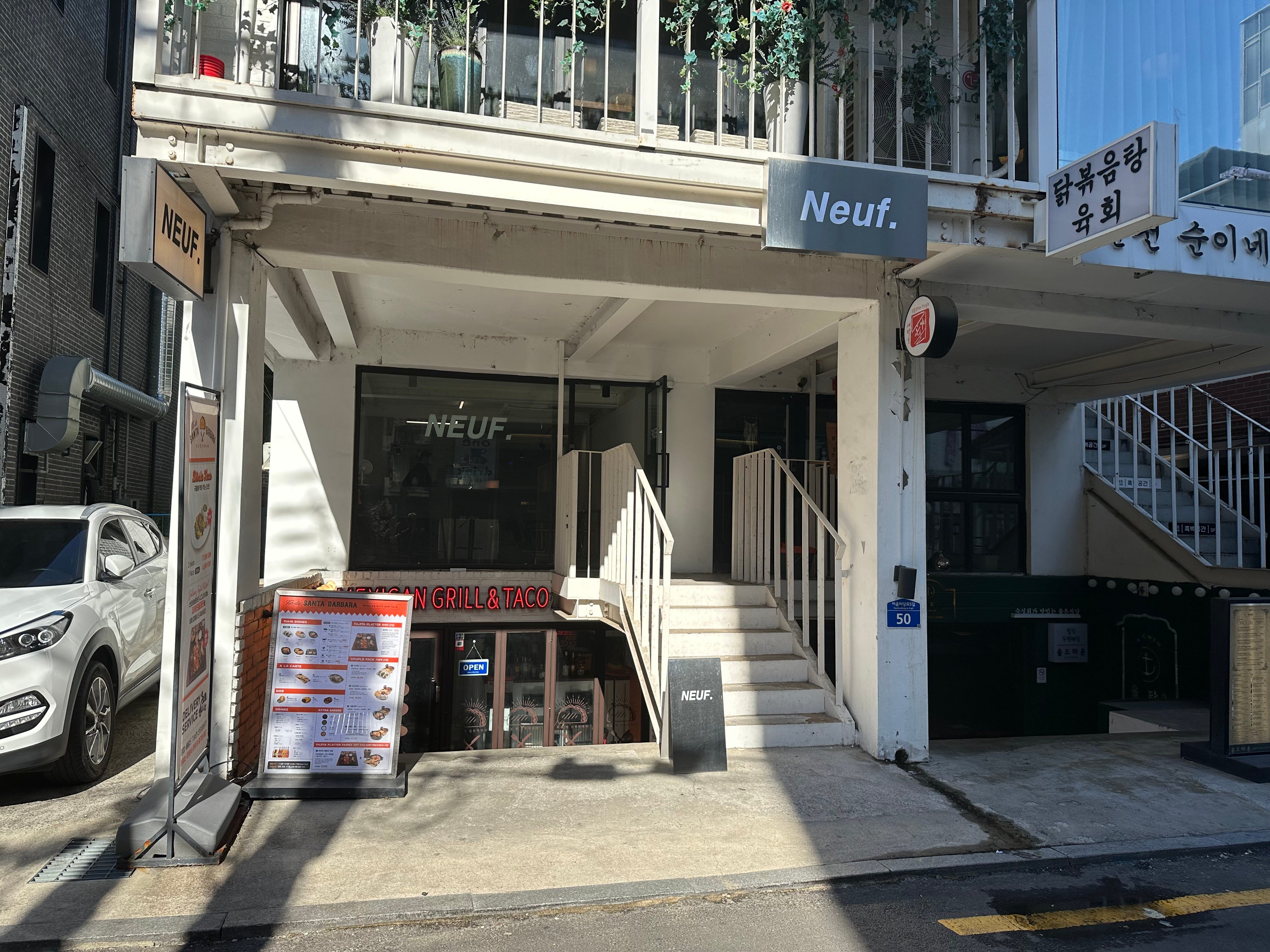
Lovely place to visit.
Getting here. Hapjeong station. Line 2 or 6.
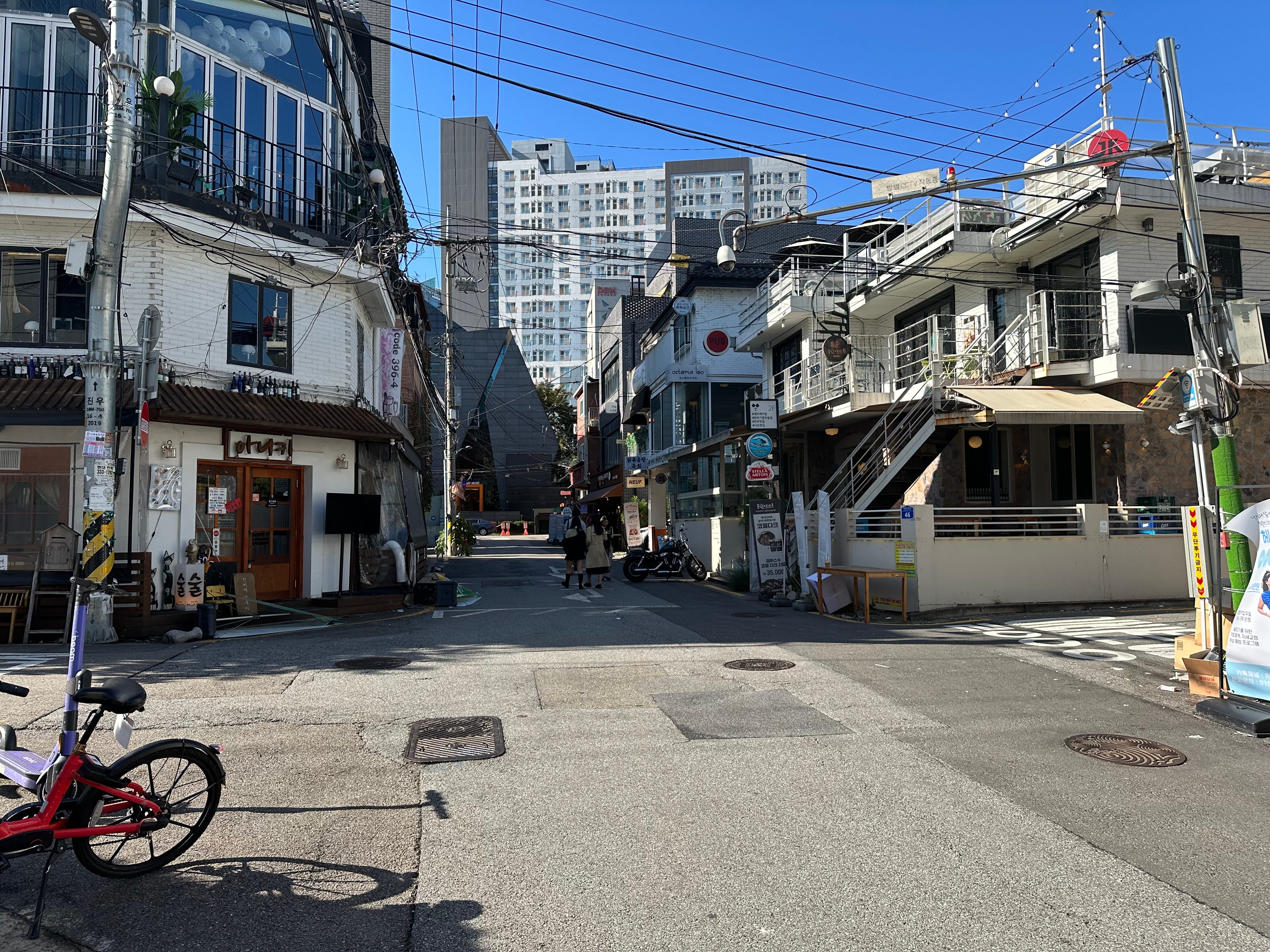
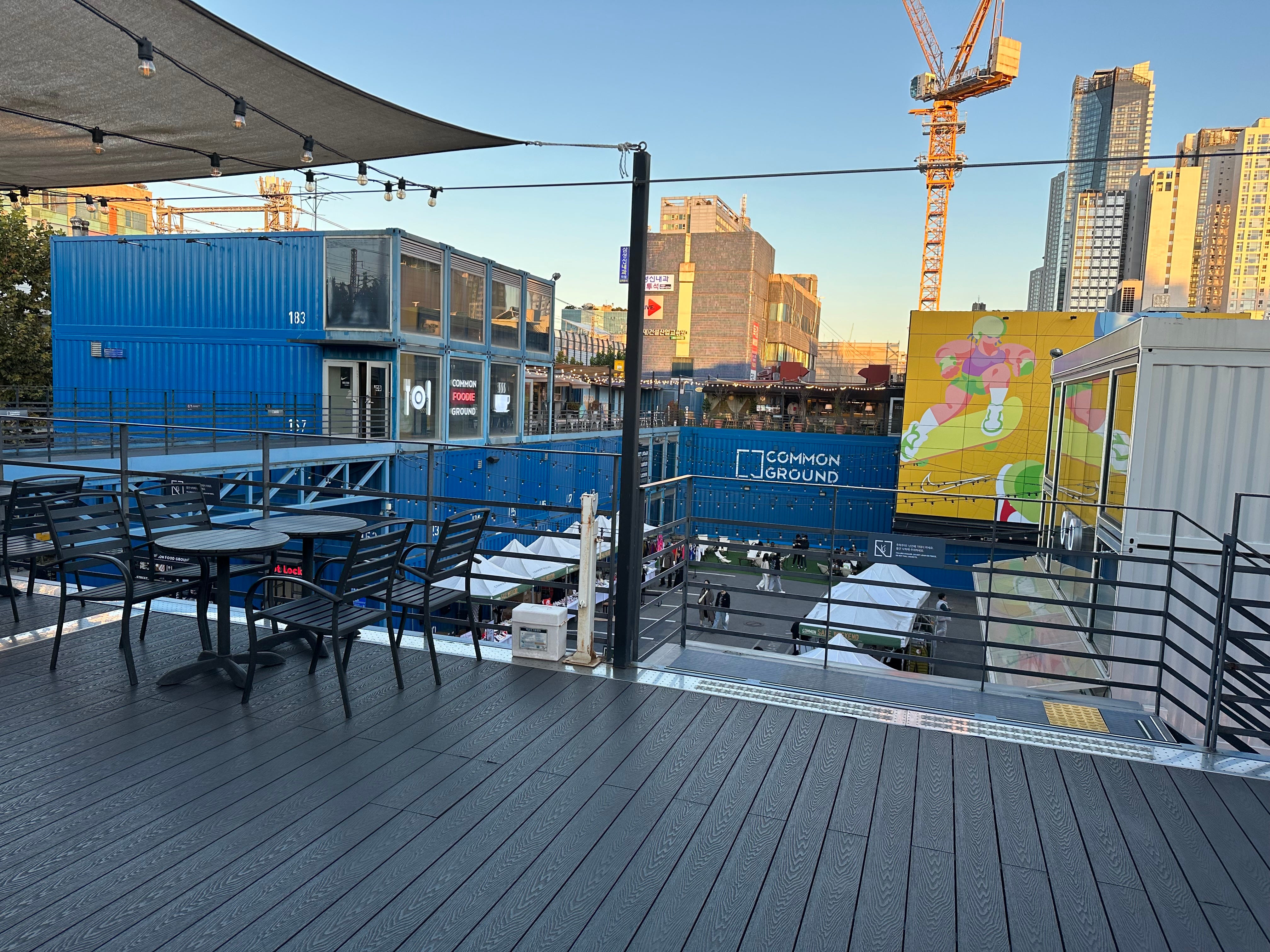
After Hapjeong I took a train to another, more rustic area near Konkuk University and strolled through a very local market. Definitely not your touristy Gwanjang market. I did not see any “foreigners”.
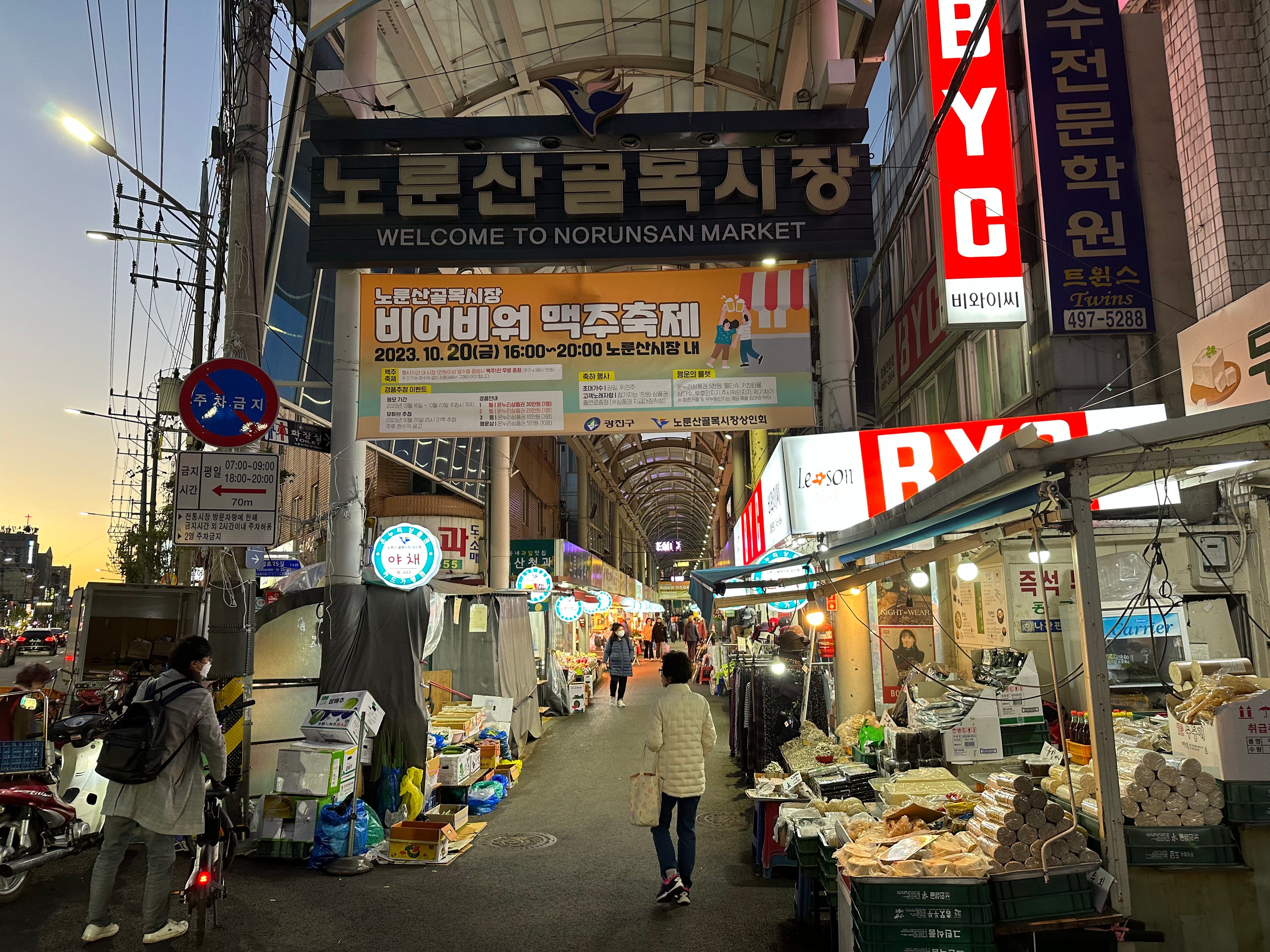
Mental note to come here to explore more. There is also a good European eatery nearby with goulash etc. and Czech beers. It has a proper name - Common Ground.
ACHA-SAN (ACHA MOUNT) WALK.
Seoul is similar to Taipei in a way that you can start your mountain hikes in the middle of the city. And even go to the start of the track by metro.
There are many trails. In 2017 I walked a few hours around Dobongsan mountain which was a rather challenging course.
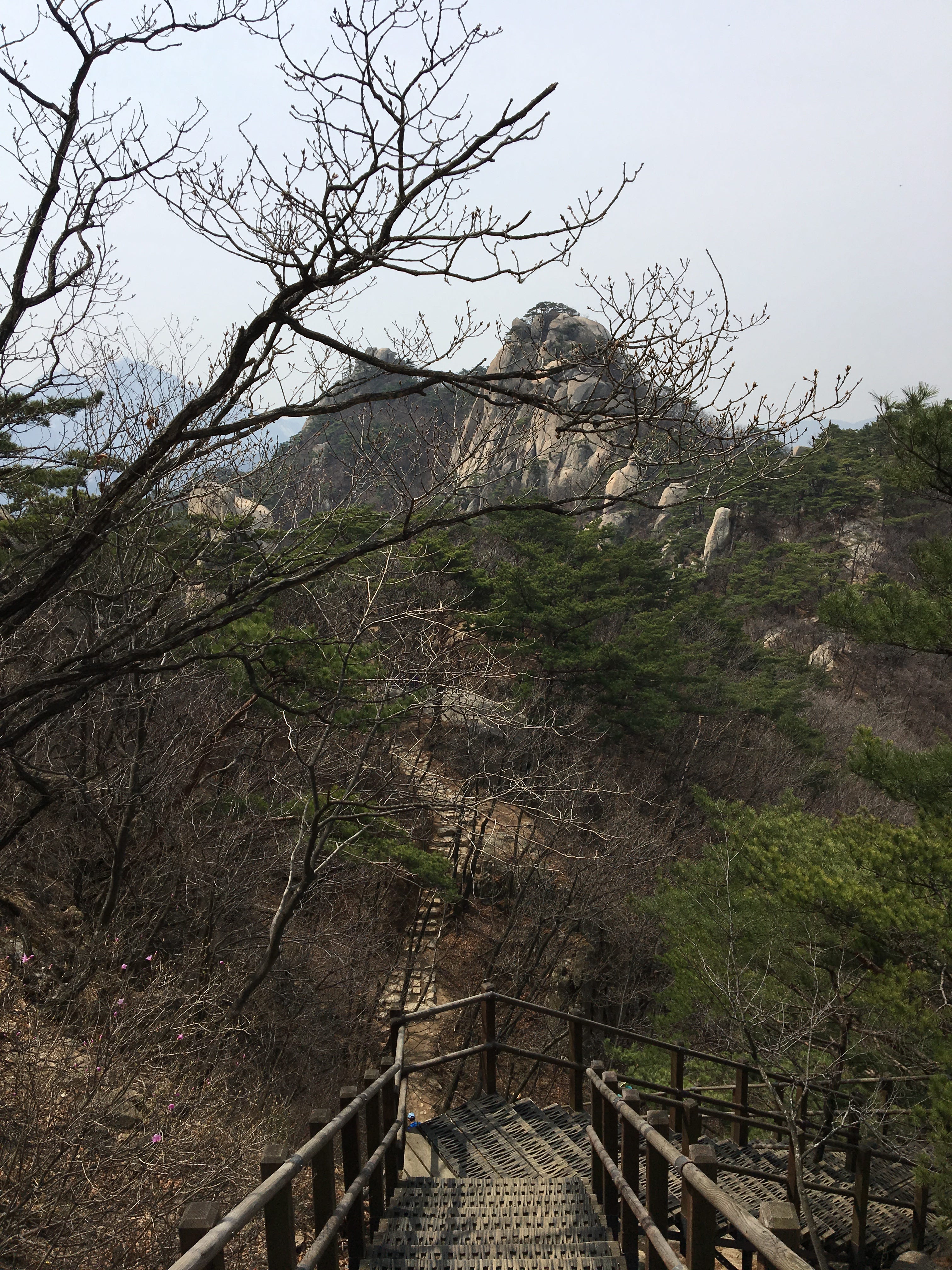
This year I have decided to try easier course leading to Acha mount (Achasan, same as in Japanese, “san” means “mountain” in Korean).
Part of the route can be seen on this map.
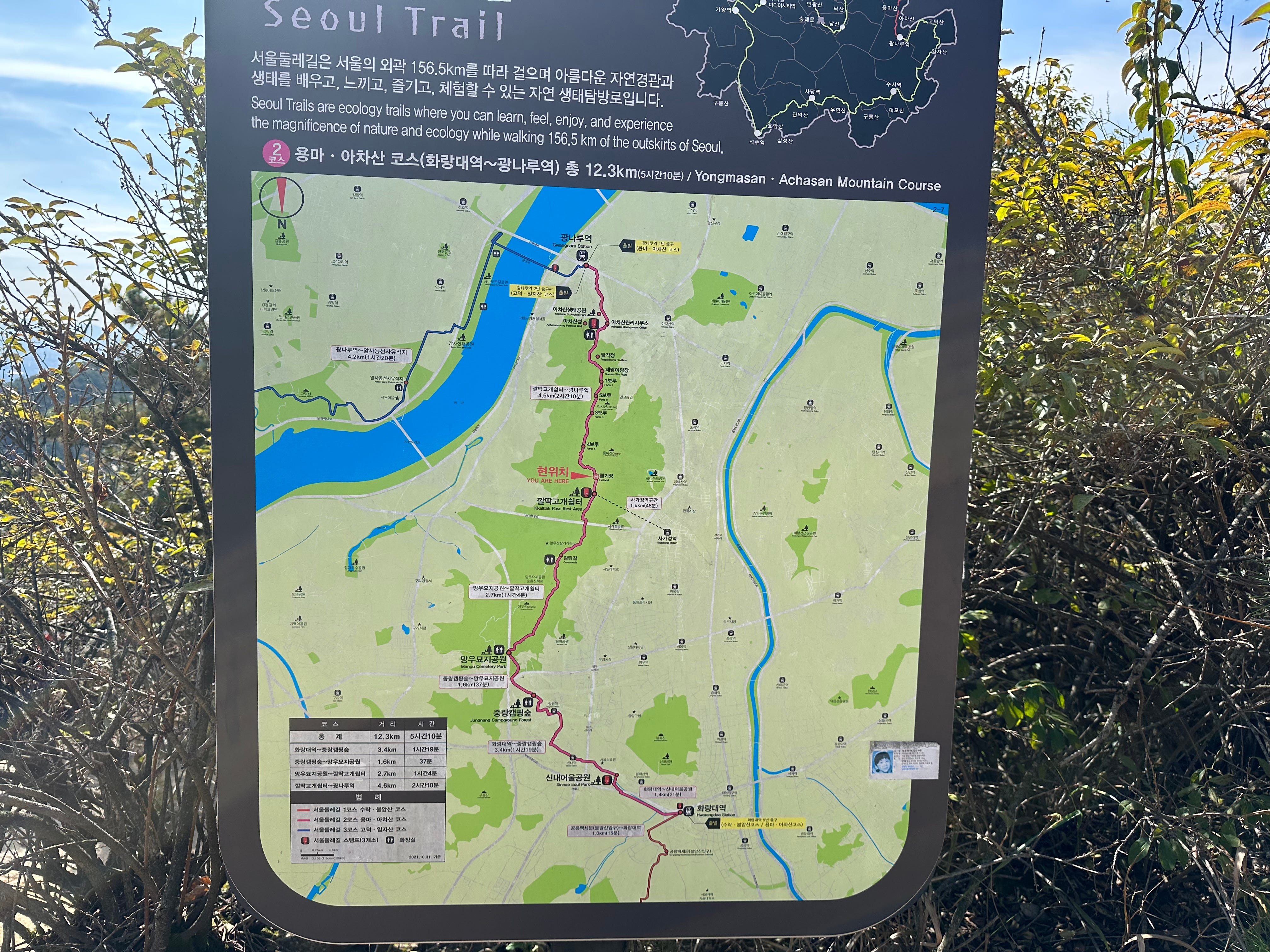
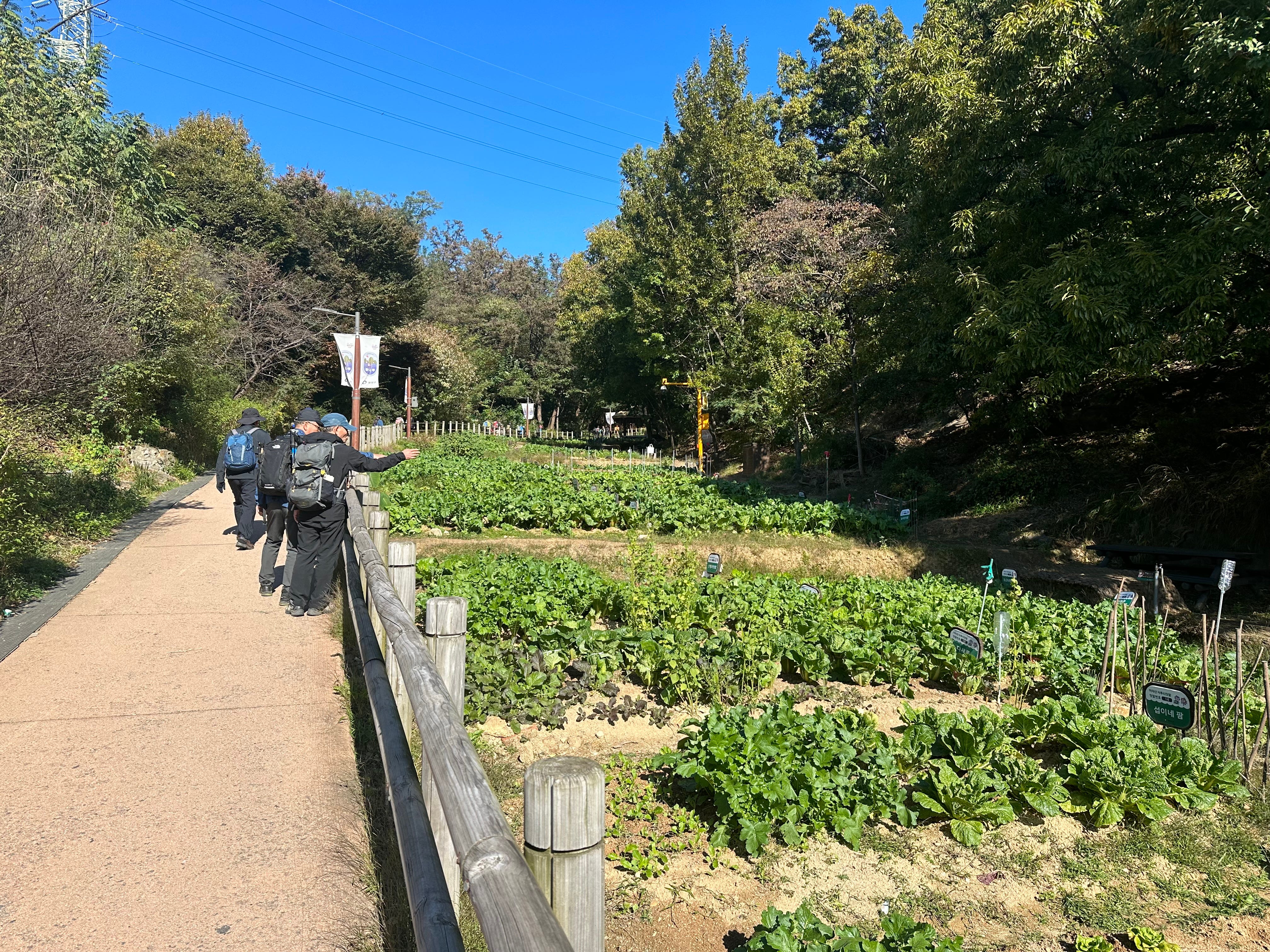
To start the hike, you need to take metro to Gwangnaru station. From there I just followed a group of hikers (they looked very so) to the start of the trail. You know the type: North Face, Patagonia etc. clad, backpacks, hiking poles. Since it is not Kilimanjaro, I decided that my usual runners and T-shirt will do. Rightly.
My plan was to walk towards Yongmasan mount (around 2 hours), then descend towards Yongmasan station and take a train back to hotel. There are signs on the way, sometimes confusing, so I had to cross check with the map, but I have managed. First impression, the route was CRROWDED. Sunday…
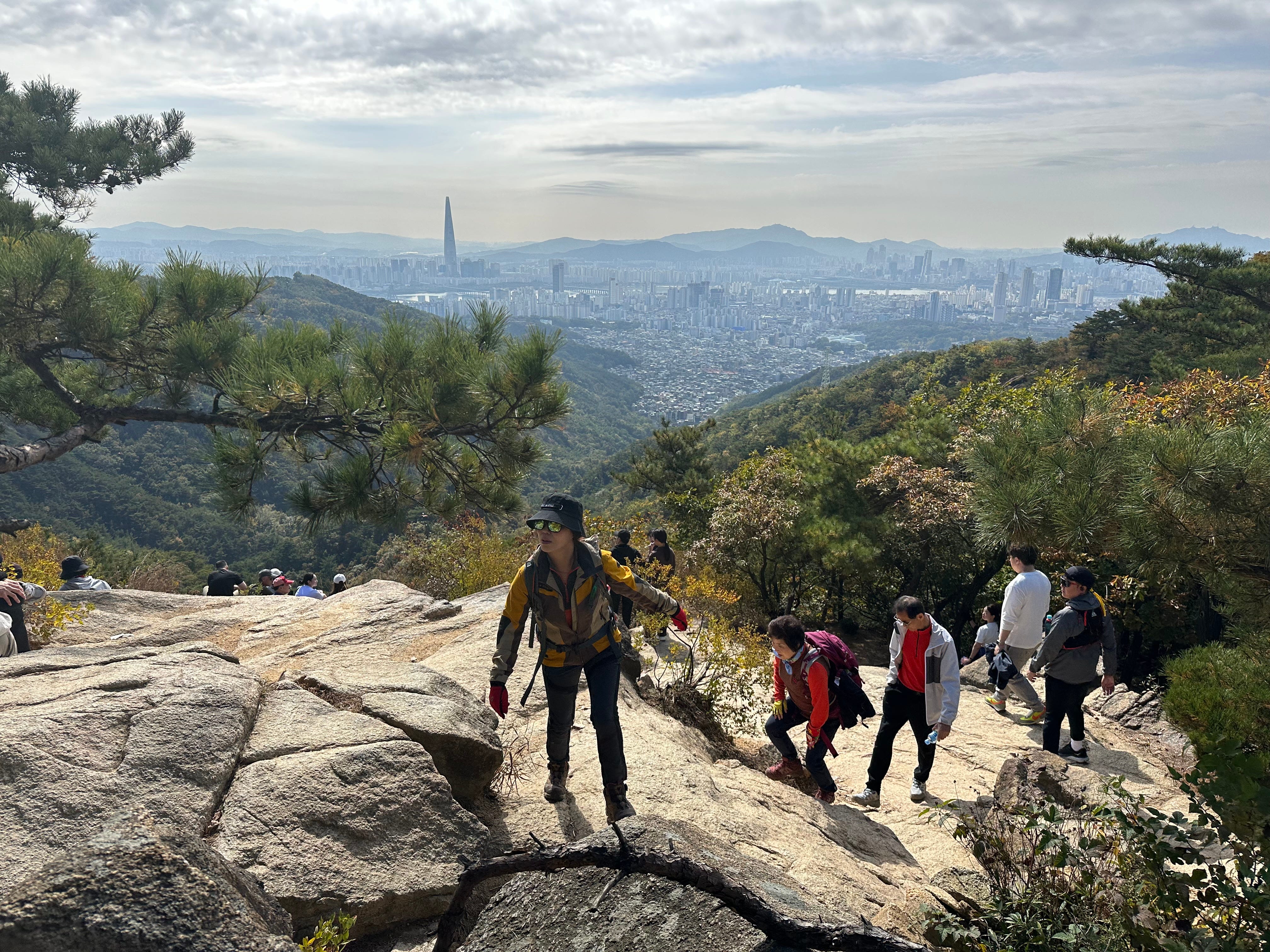
But I have found some good spots to enjoy Seoul views from the top.
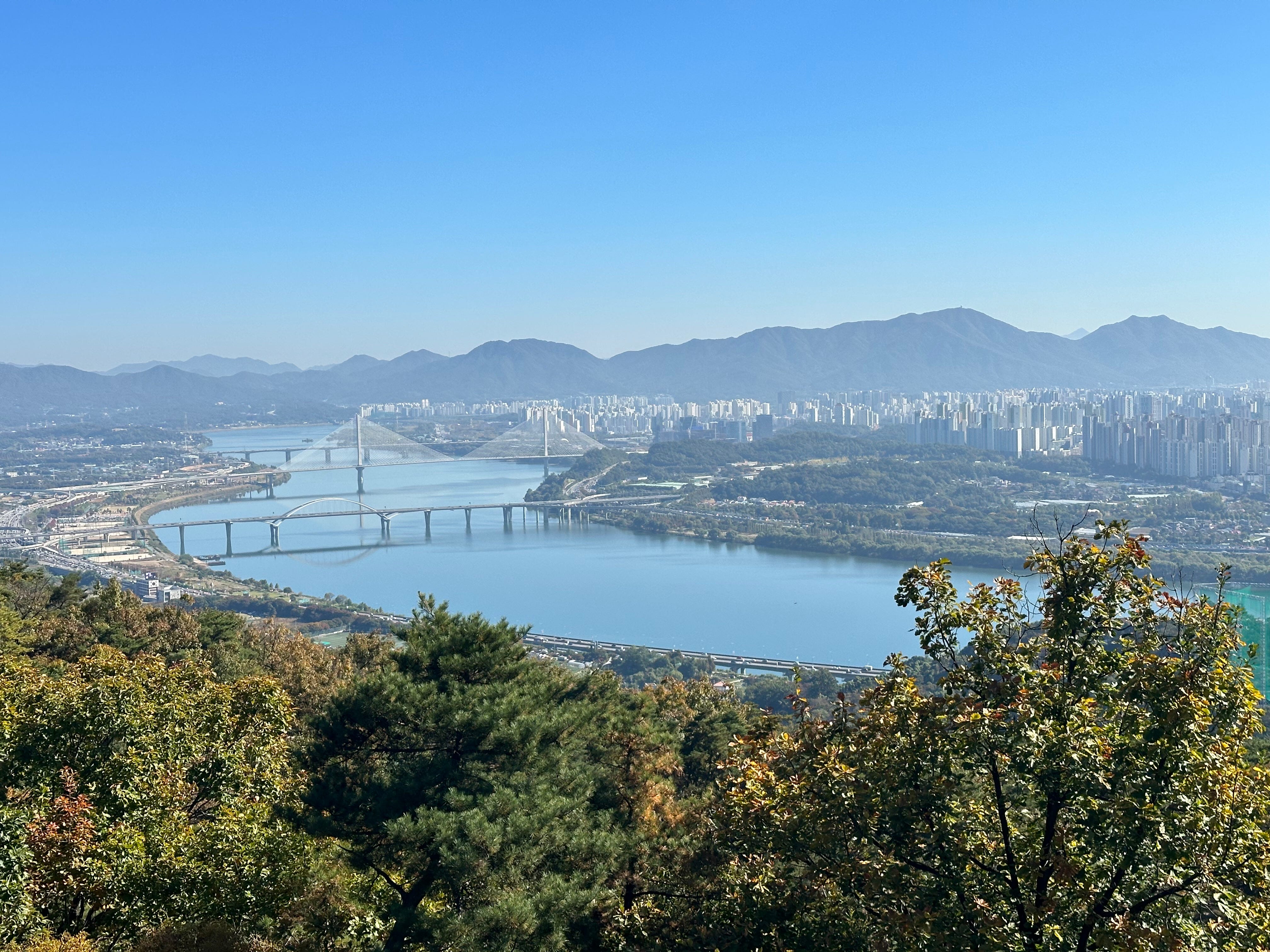
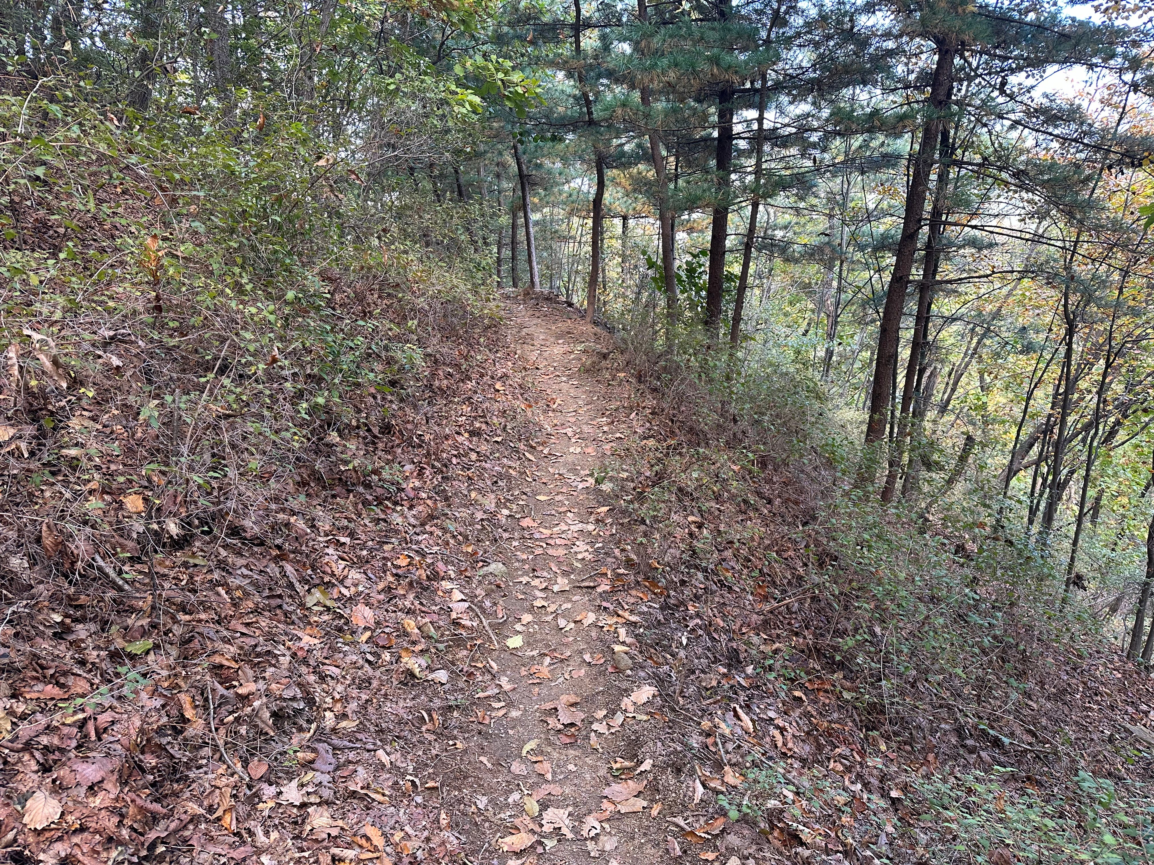
Sometimes steep, but relatively easy walk. I have even seen people with kids. And once I left the main trail turning towards Yongmasan station, suddenly the track became deserted. Did I enjoy it!
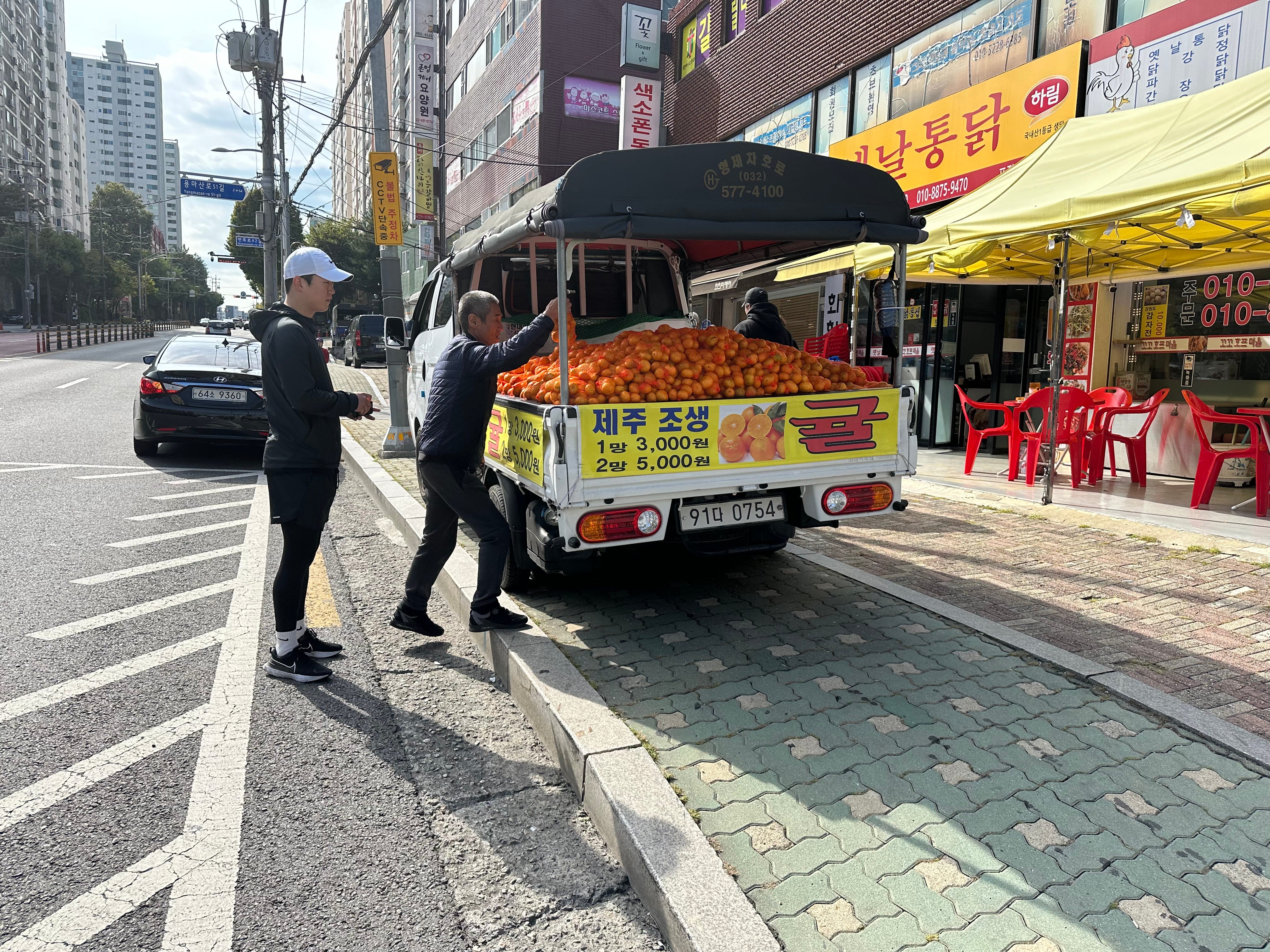
Steep descend, but not too long. After “landing” I have bought a pack of mandarins from the truck. A very Korean reality: fruit trucks.
Then I took a train back to Gwangnaru station and walked towards Cheonho bridge which is a part of the Seoul trail. I like walking along the bridges. Cars are passing by and can not stop and soak the views. I can.
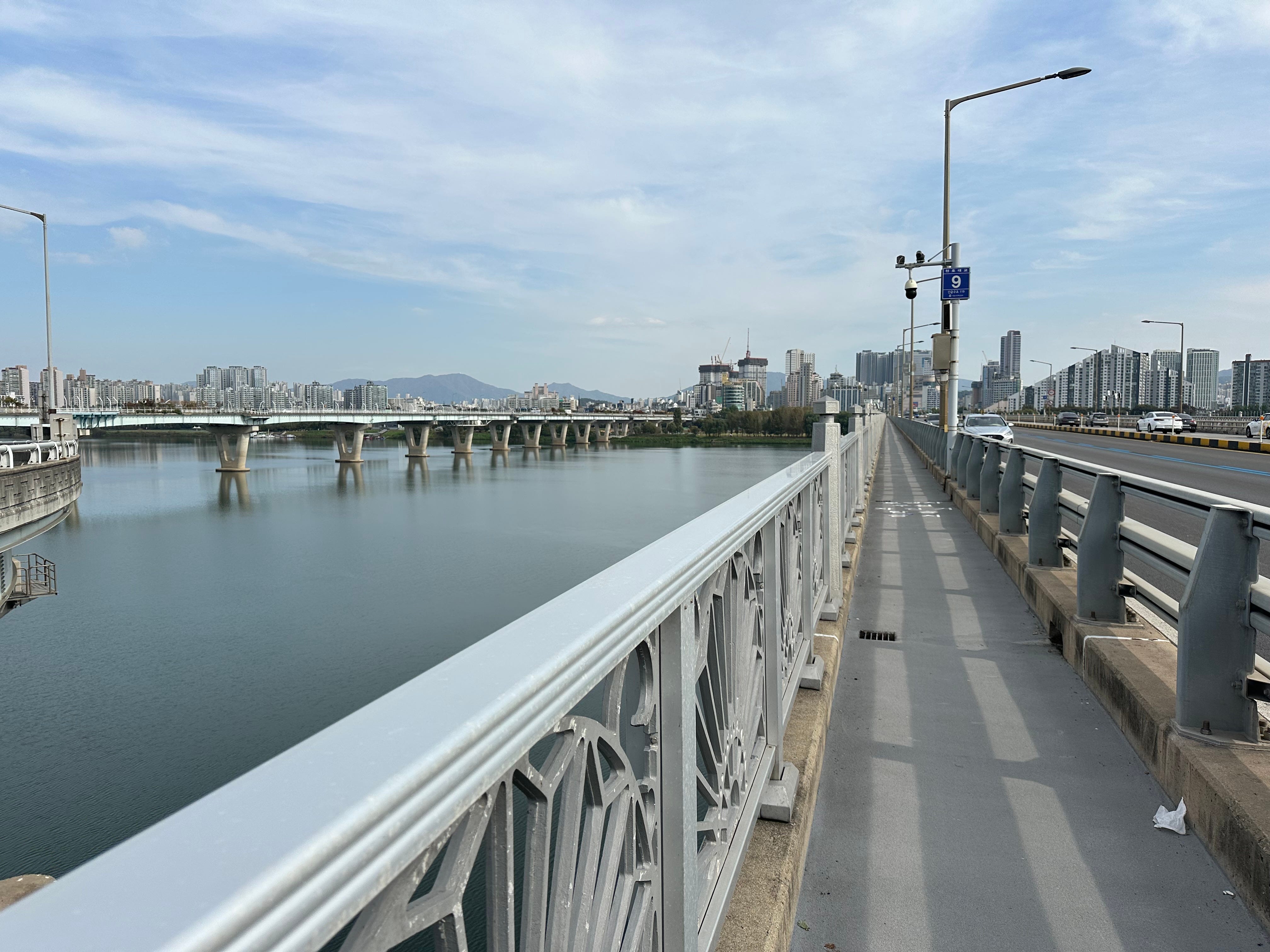
Once you cross Hang River and reach the opposite side, you can turn left towards Amsa station or turn right towards Jamsil and Olympic Park area (the route I have described in part 1).
I think Achasan walk can be nicer during a weekend with less people, but I enjoyed it nevertheless. If you want to explore more of the Seoul hikes, I recommend this link, not very detailed, but gives you a few options.
N.B. Tomorrow I will be leaving for Hong Kong, followed by Malaysia and Thailand. I will have couple of free days in HK to hike or maybe I will visit one of the new towns Tseung Kwang O. But definitely looking forward to Hong Kong style milk tea. I might finish my Seoul notes on a plane.